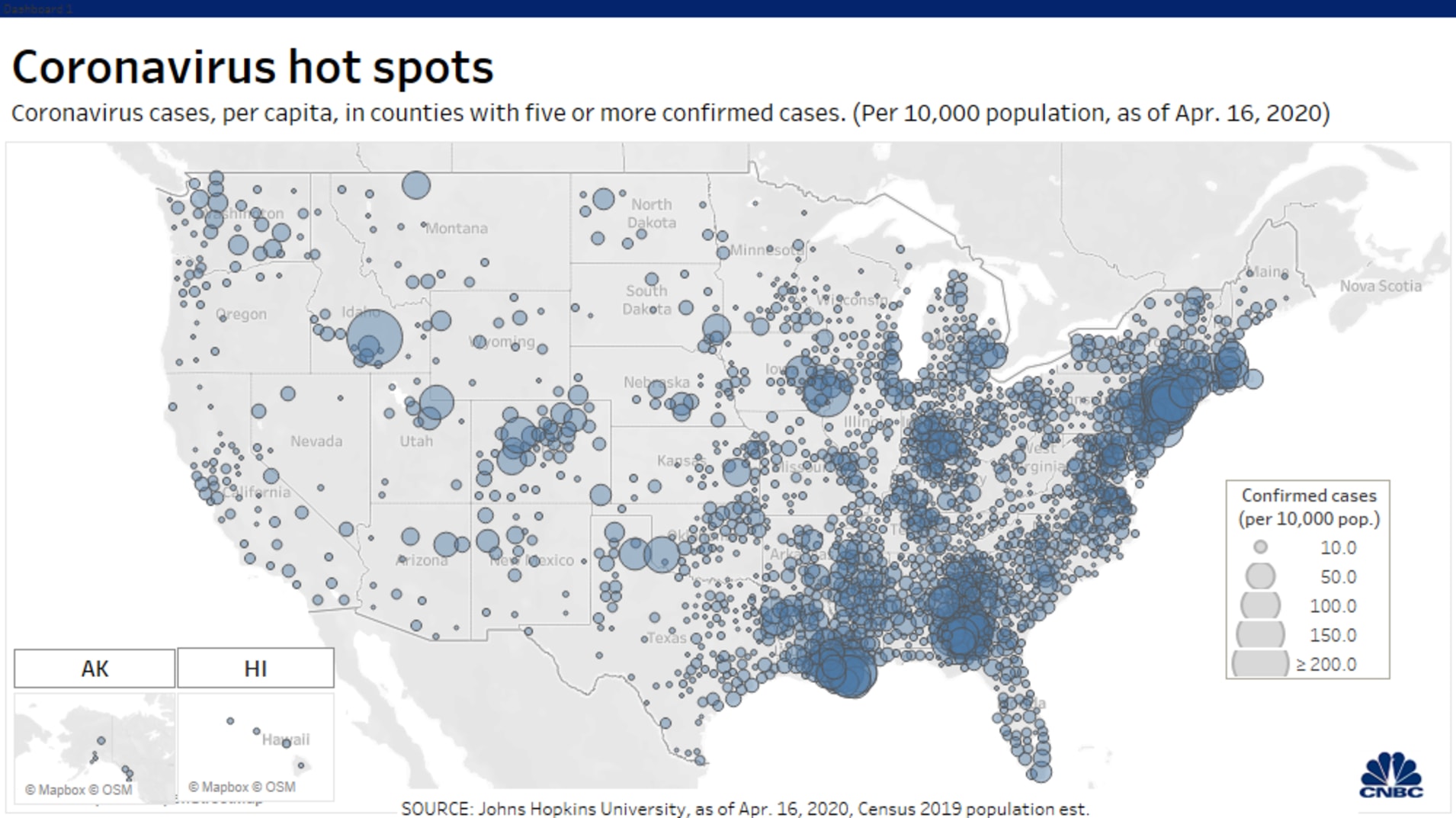
To a casual observer — and that’s all I am, a casual observer — it looks like the “hot spots” are most highly concentrated in the densely-populated urban Northeast and the southern states where social distancing mandates are weakest. There isn’t any question that social distancing slows Covid-19’s spread and reduces the incidence of infections. (Click on image to enlarge)
One could put up the number of automobile deaths and get a similar hot spot map. What you would not see is the number of near accidents, running a stop sign, stop light or speeding. One problem is that this is only confirmed cases and some 84 percent of those infected sow no signs of infection.
The map also shows that the area of the country that is hot, get a lot of sunlight and generally dry has the lowest infection rate, while other areas that are humid have a higher rate, and areas that spring has not arrived has an even higher incidence of infections.
So a casual observer could ascertain that climate slows and reduces or increases the incidence of infections.